
Almost forgotten among the many programs President Franklin Delano Roosevelt launched during the great depression to fend off economic collapse and create jobs was a monumental effort to produce long range plans for America’s National Parks. Beginning in 1929 with a Master Plan for Mt Rainier National Park, more than a decade was spent by the NPS Branch of Plans and Designs developing road and land-use maps, building and structure designs and trail and shelter systems for public park lands, mostly in the west. While the many first generation master plans were amended and expanded over time, the Mt. Rainier Plan became a template for preserving wilderness and building thoughtfully in America’s National Parks.
The Mt. Rainier National Park Master Plan was created by Thomas Chalmers Vint, a University of California Berkeley landscape architect who entered the National Park Service in 1923 working as a landscape engineer at Yosemite National Park. In a storied meeting with NPS head Stephan Mather in the summer of 1924, Vint criticized the harsh plans to blast a system of switchbacks over Nolan Pass in Glacier National Park to cross the continental divide with the new Transmountain Highway. His landscape friendly plan to follow the natural contours and the dramatic Garden Wall escarpment in a route across the National Park that had only one major switchback. The Going-to-the-Sun Road was opened in 1932 and is now listed as a National Historic Landmark and a major influence on Montana’s highway system which is admired for its graceful routing and soft visual impact on the natural landscape.
In 1927 Vint became the chief landscape architect at Yosemite where he borrowed from the imagination of Frederick Law Olmsted, who designed the city plan for Berkeley, in designing park buildings and structures out of native materials, logs, rustic timber and stone. His notions about blending engineering and architecture into the landscape and reserving wilderness areas entirely within the parks were applied at Yosemite just as Mather assigned him the task of developing a master plan for the 369 square mile National Park at Mount Rainier. Vint spent more than two years studying the ground, topography, glaciers, flora and fauna around the volcano and in 1933 delivered a thick portfolio of drawings, maps, text and aspirations bound and covered as the Master Plan for Mount Rainier National Park.

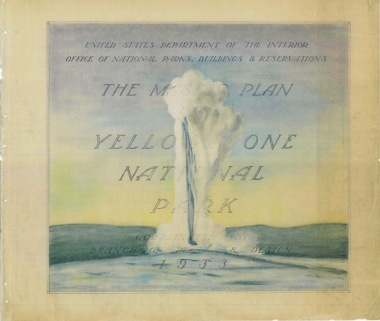
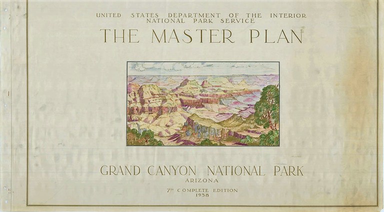
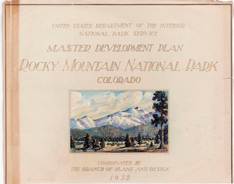
In 1933 Thomas Vint became Chief of the NPS Branch of Plans and Design and over the next decades his office produced master plans for most of the largest most icon National Parks, Yellowstone, Grand Canyon, Rocky Mountains, Glacier and others. They all followed the patterns, values, landscape protections and native material design ideas of the first plan for Mt. Rainier.
Thanks to a story at Atlas Obscura several of the covers from the 1930’s National Parks Master Plans have been reproduced from the National Archives including the Mt. Rainier Park Master Plan. Here they are:


Link to Atlas Obscura story by Anika Burgess;
